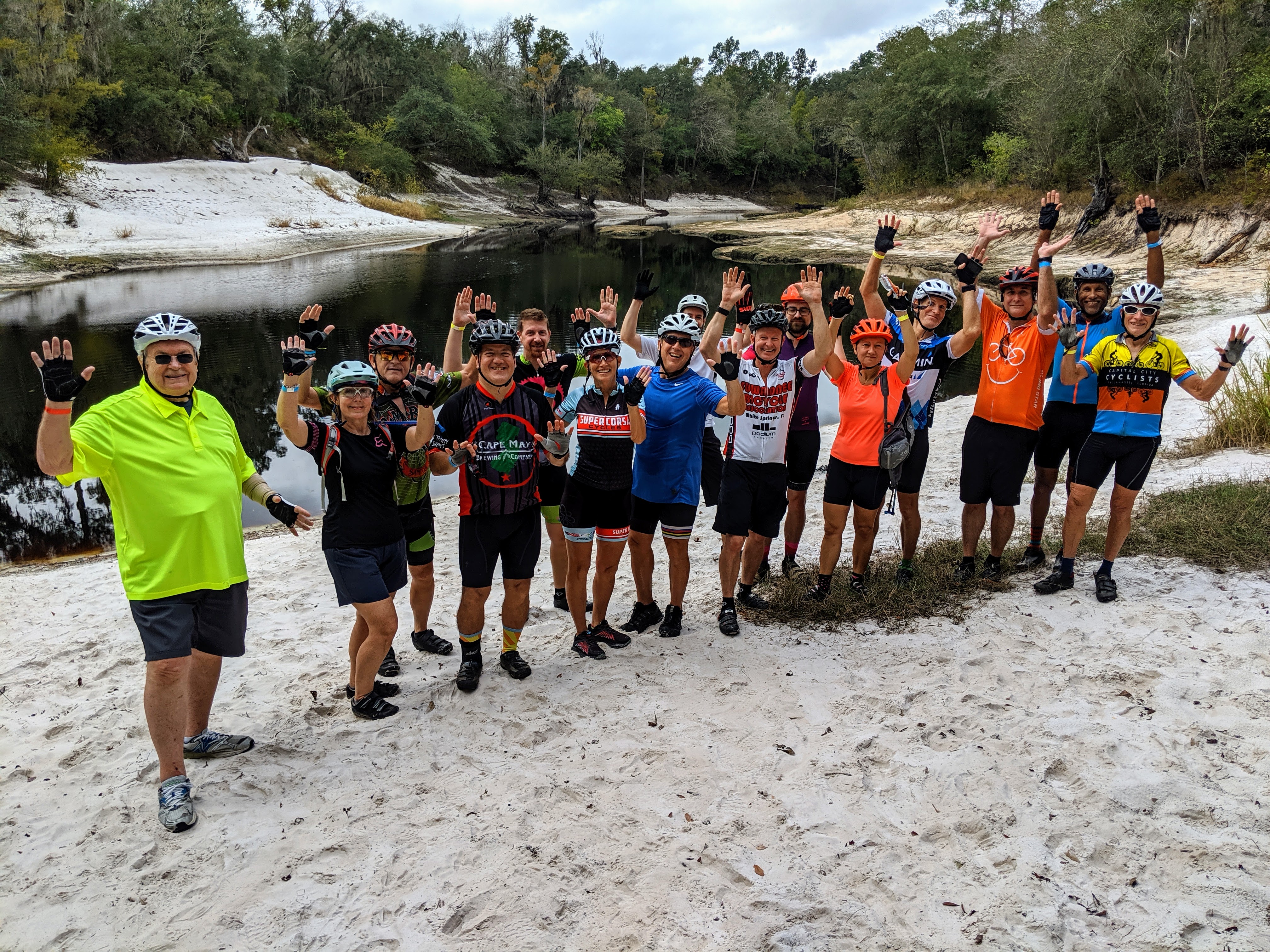
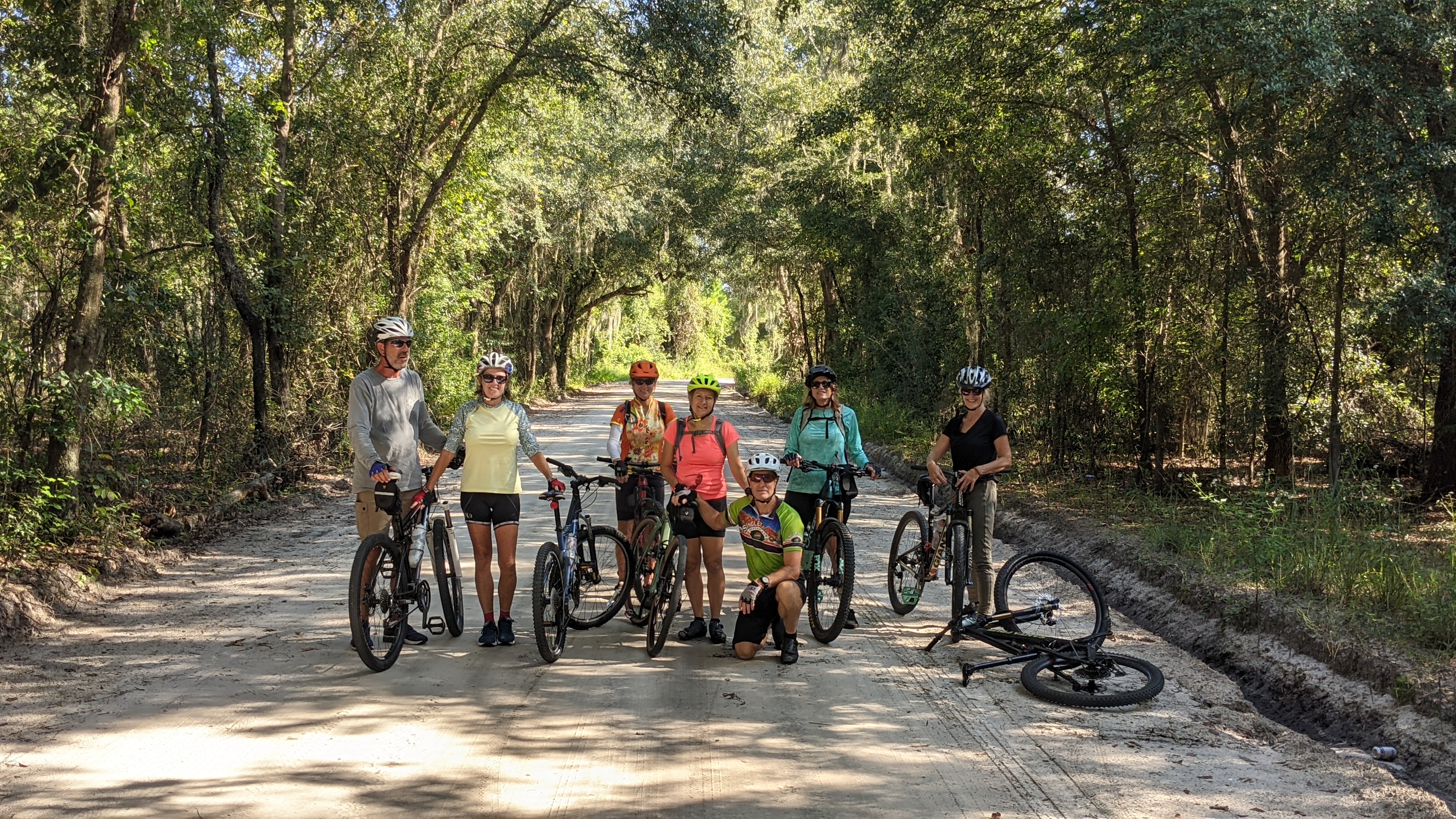
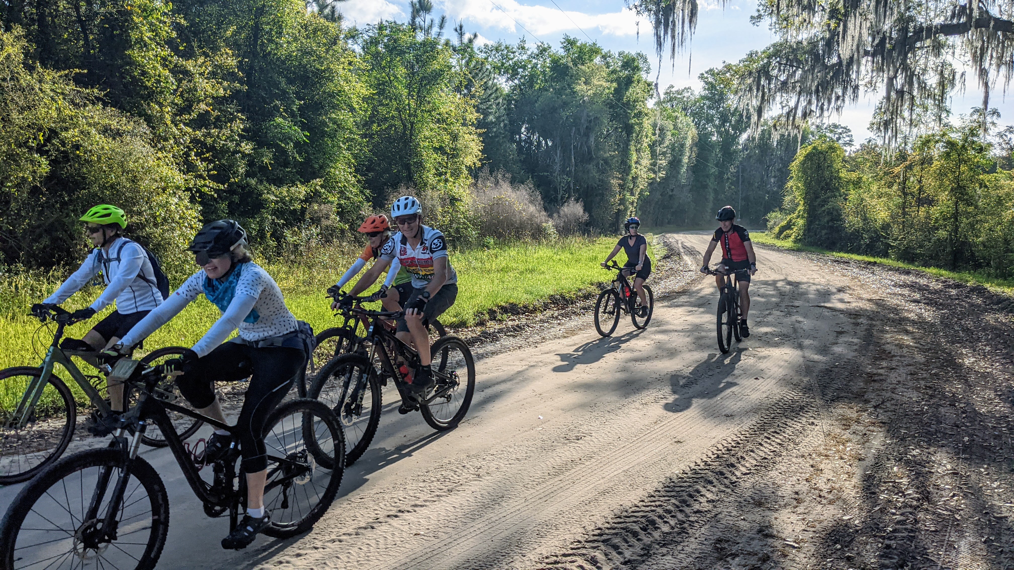
Gravel Rides
Hamilton, Columbia, Madison and Suwannee Counties have miles of quiet country roads, many unpaved. The Suwannee Water Management District maintains most of the land along the river, with doubletrack paths crisscrossing through the lands. Our gravel rides use all of these, along with some paved bike paths, to create interesting rides through the beauty of the Suwannee River Valley. These routes are suitable for bikes with gravel or mountain bike tires.
Suwannee Gravel Ride 28 w/ River detour
Description: This route consists of country roads and hard packed dirt roads through Suwannee Valley, with a side trip to the Suwannee River.
Chamois Hagar (Can't ride) 55 Gravel Mix
55 miles
Map Strava Ride with GPSDescription: Find a good playlist, and enjoy 55 miles touring the Suwannee Valley. This route maximizes our quiet dirt roads, with some pavement in between on equally quiet paved roads. Such a deal! Watch one couple's take on this ride!
SBA Gravel Metric Century
62 miles
Map Strava Ride with GPSDescription: SBA's first gravel century ride...metrically speaking...will take you along 62 miles of beautiful back roads that traverse around, across and thru the Suwannee River Valley. Along the route near mile 34 there's a food-beverage stop at Spirit of the Suwannee music park to resupply (restrooms included). Soon after the route takes a detour to a super-cool old railroad bridge over the Suwannee River and to Suwannee Springs along the river. To this point, the ride has a bit more paved vs unpaved sections. However, the ride soon becomes a majority of unpaved bliss until you reach the Gar Pond recreational area...which, if you dare, can take you along a short and exceptionally fun stretch of well-groomed single track that follows the banks of the Suwannee (double-track opt-out available). Overall, the route is a consistent mix of paved/unpaved sections (approx. 50/50) that will keep riders on their toes and moving fast...it's the Paris-Roubaix of north Florida!!
SBA Gravel 17.5 Cemetery Tour
Approx 17.5 miles
Map Strava Ride with GPSDescription: A nice loop with lovely views, including an old cemetery and impressive trees. The route heads out on 25A, then north on SE 154th Ave, then jog to the right when the road ends at US 41 anc cross onto SECR 137 and then left onto SE 142nd Ave. When the road comes back to 41, job left again to SE CR 132 which becomes E 143rd as it returns to 25A. Turn left on 25A then left again on SE 95th to get back to SE 154th where you can backtrace back to town
SBA Gravel Tour de Ponds
8.5 miles
Map Strava Ride with GPSThis loop heads SW out of White Springs, down White Springs Ave. to Dreamer Road on the left. At the end of the road is the back entrance to the Gar Pond Tract of land managed by Suwannee River Water Management District. Just before a gate on the dirt road turn right to stay on district land and ride around the private land. The trail comes to Jacob's Bridge from a different direction, and then follows the former doubletrack back around Pit Pond, continuing on doubletrack around Gar Pond and Horseshoe Pond before leaving Gar Pond and continuing down the doubletrack across US 41 through the Little Shoals Tract before climbing up to 41 to cross the Suwannee. The ride back on Mill St. keeps you off the highway returning to HQ, and offers the option to stretch the ride another 10 miles by continuing NE out of town to the Woodpecker Loop.
Woodpecker Gravel Loop
11 miles
Map Strava Ride with GPSDescription: This loop rides the road out to the Little Shoals park entrance, and then the paved Woodpecker Trail in the park. The return is on the dirt Road 1, which runs roughly parallel to the paved trail, with three possible water crossings instead of the bridges on the paved trail.
SBA Gravel 24 Swift Creek Loop
24.3 miles
Map Strava Ride with GPSDescription: From headquarters head out on County 25A to 154th Ave, then, then mostly dirt roads to Genoa where the route crosses US-41. Then the route heads out by Eagle Lake before returning to town.
Gravel 34
34 miles
Map Strava Ride with GPSDescription: From headquarters head out on 25A for some nicely wooded sections near I-75 before wending your way to Genoa and Eagle Lake and the ride back to town.
Over the Muna
20 miles
Map Strava Ride with GPSDescription: A gentle ride out of town on a wide shoulder, and then winding back on less traveled dirt roads.
Half Muna Bae
15 miles
Map StravaDescription: Half the distance of the Over the Muna, same great roads.
Vicky Gravely 50 K
32 miles (50 Km)
Map StravaDescription: Longer than Over the Muna, extending to Mattair Springs and nice gravel to 136.
Suwanne-Columbia 65 K
41 miles (65 Km)
Map StravaDescription: An extension of the Vicky Gravely, adding some gravel towards Wellborn and a shot on the main dirt road across the Gar Pond Tract.
Nova Gravel Ride
12 or 18 or 26 miles
Map Strava Ride with GPSDescription: This is a loop from SBA Headquarters on mostly dirt roads. The shortest version skips the out and back lollipop to the Blue Sink Canoe Launch. The longest version retraces the route to Blue Sink instead of the 3 mile paved return on Hwy 136 to White Springs.
Tour de Foster
7.5 miles
Map StravaDescription: This ride uses the doubletrack in Stephen Foster Folk Culture Center State Park. The ride goes out Camp Rd to its end, then circles back on River Rd, with stops at some river overlooks before returning to SBA HQ.